Lower Cedar Creek Falls Trail
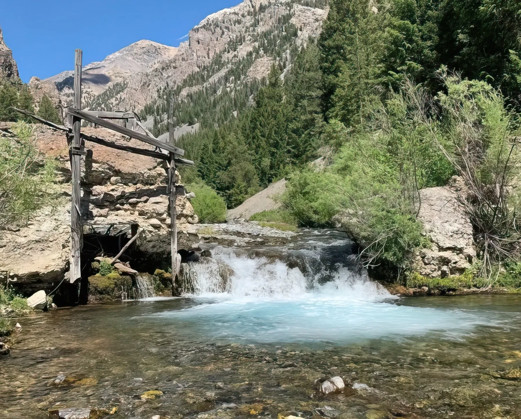
The Lower Cedar Creek Trail is a 3-mile out-and-back hike that follows Cedar Creek through a forested canyon with spectacular views of the surrounding peaks and valleys. At mile 1, you will come upon an old hydroelectric plant that supplied electricity to the town of Mackay from 1912-1940. The old wooden pipes, reinforced with metal wiring that delivered the water, follow the creek. Just past the plant, the creek forks, and then it’s just a short 0.2-mile push up to the "hole in the wall" waterfall, which gushes over a million gallons per minute. The trail is generally considered moderate, with some steep sections and rocky terrain.
Trailhead located at the end of Lower Cedar Creek Road, about 12 miles south of Mackay.
Big Lost River Access Trail
The Big Lost River Access Trail, located west of Mackay off White Knob Road, is a one-mile hiking trail that provides access to the Big Lost River.
Challis National Forest
Borah Peak Wilderness
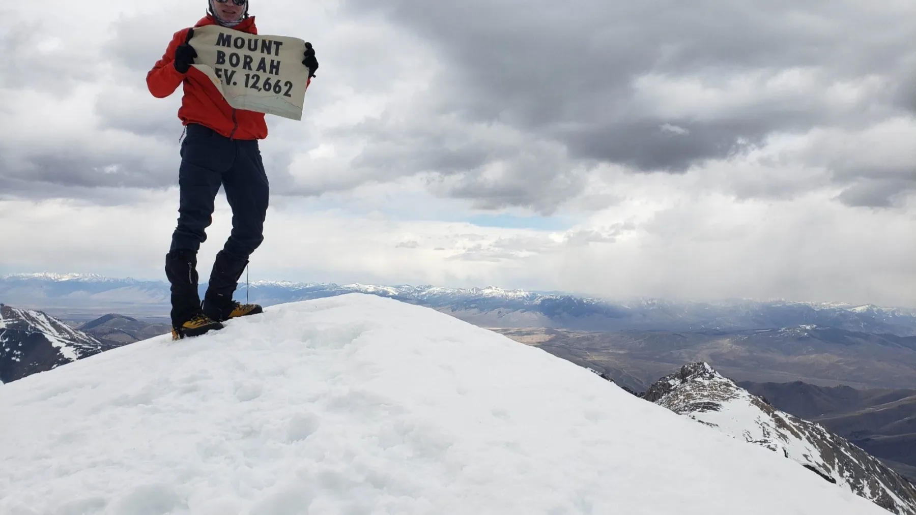
The Borah Peak Wilderness Area covers 47,175 acres and features rugged mountains, deep canyons, and alpine lakes, lying at elevations ranging from 6,000 feet to Mount Borah Peak at over 12,000 feet. The stunningly beautiful region offers hiking on the Borah Peak Trail, Chicken Out Ridge Trail, and Leatherman Peak Trail, fishing in the Salmon River and Big Lost River, mountain biking the Mackay Reservoir Trail and the Antelope Creek Trail, and horseback riding on the Fish Creek Trail and Mill Creek Trail.
Multiple access points including Borah Peak Trailhead, off Idaho RT-93 North of Mackay, ID, 83251
Salmon Challis National Forest
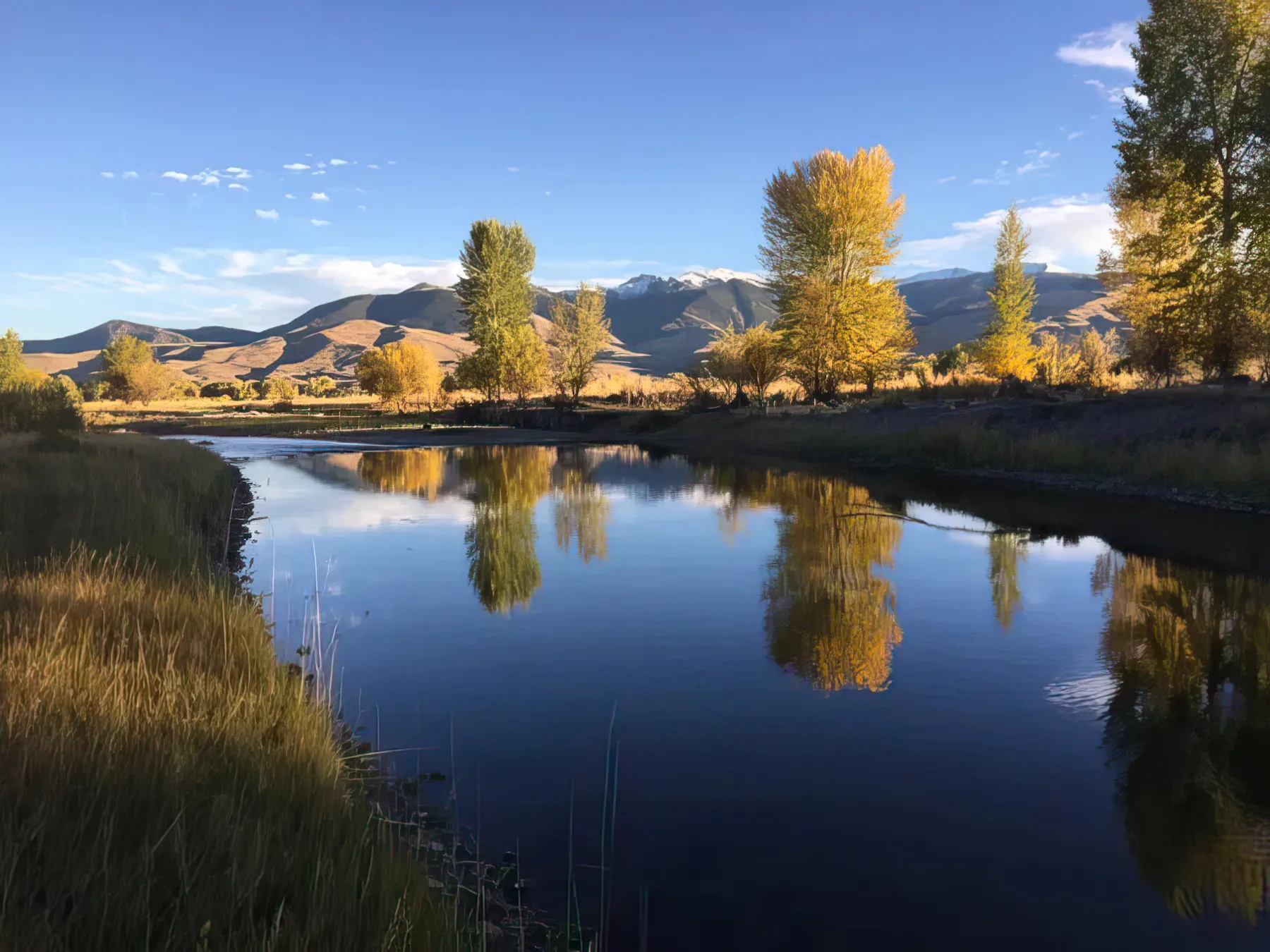
The Salmon-Challis National Forest encompasses over 4.3 million acres in central Idaho and includes the Frank Church River of No Return Wilderness Area, the largest contiguous area in the continental United States. Named after the Salmon and Challis Rivers, which run through the diverse landscape of mountains, canyons, alpine expanses, and high desert, the forest delivers outstanding recreational opportunities. You can escape into the backcountry in the Lemhi, Bitterroot, Pioneer, or Lost River Mountain Ranges or venture to the Bighorn Crags within the Frank Church. The forest is also rich in heritage, with historic cabins, ranger stations, lookouts, mining ghost towns, and the Lewis and Clark and the Nez Perce National Historic Trails linking to the past.
1206 S. Challis Street, Salmon, ID 83467
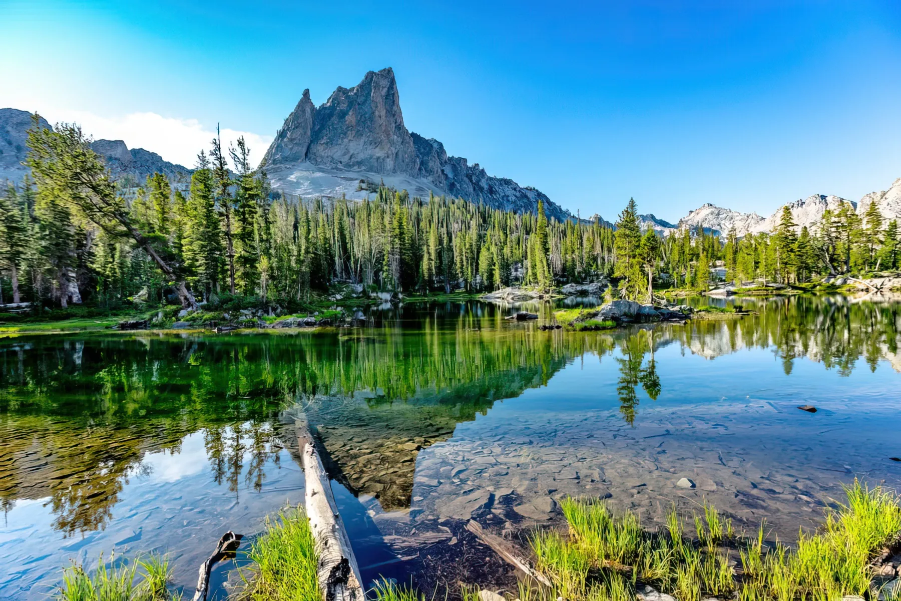
Sawtooth National Recreation Area
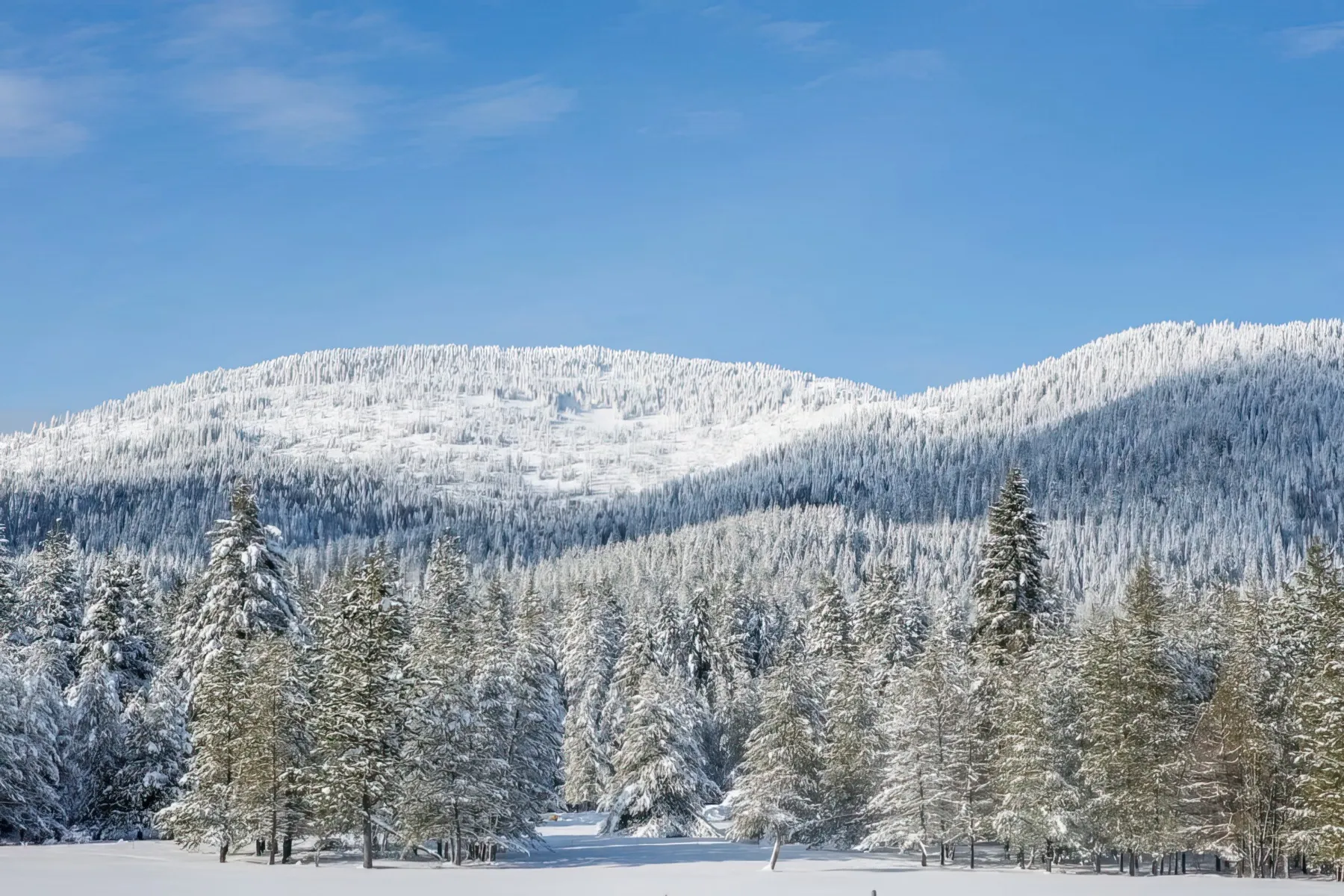
Featuring 756,000 acres with views of the Sawtooth Mountains, the area is known for its rugged beauty and wide range of recreational opportunities. The headwaters of four major rivers, over 700 miles of trails, 40 peaks rising over 10,000 feet, and over 300 high-mountain alpine lakes beckon adventure enthusiasts for hiking, backpacking, rock climbing, kayaking, whitewater rafting, mountain biking, and wildlife viewing. The Stanley Ranger Station is the Recreation Area’s best entrance from which you can easily access numerous trails and lakes as well as obtain information, area maps, and a narrated automobile tour highlighting the area’s history and most impressive sights.
Stanley Ranger Station located on FR-433, approximately 3.4 miles south of Stanley on ID-75
Mon-Fri 8:30AM-5PM